
Understanding Land Surveying: Its Importance and Applications
Land surveying plays a crucial role in various aspects of development and land management. From determining property boundaries to ensuring construction projects are executed accurately, the importance of land surveying cannot be overstated. This blog explores the fundamentals of land surveying, its significance in different fields, and the applications that highlight its necessity.
What is Land Surveying?
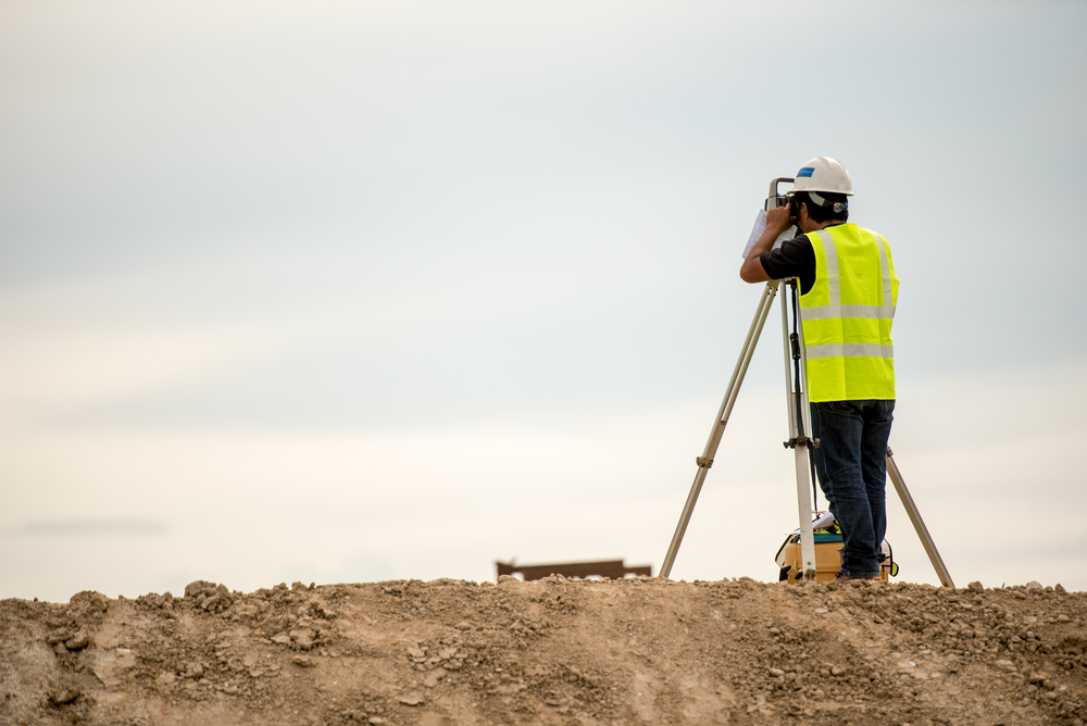
Land surveying is the science and art of accurately measuring and mapping the surface of the Earth. It involves identifying, measuring, and marking property boundaries, as well as locating buildings, roads, utilities, and other elements on the land. Surveyors use specialized equipment such as total stations, GPS receivers, and digital levels to gather precise measurements and create detailed maps.
Importance of Land Surveying
The importance of land surveying can be understood through its various applications and benefits:
Establishing Property Boundaries
One of the primary purposes of land surveying is to establish and demarcate property boundaries. This helps prevent boundary disputes between neighboring landowners and ensures each party knows the exact extent of their land ownership. Accurate boundary surveys are essential during property transactions, boundary adjustments, and legal disputes.
Facilitating Land Development
Before any construction or development project begins, land surveying is conducted to determine the topography, existing structures, and other relevant features of the land. This information is crucial for planning and designing subdivisions, infrastructure projects, and residential or commercial developments. Survey data helps architects, engineers, and urban planners make informed decisions about site suitability and layout.
Ensuring Construction Accuracy
During construction, land surveyors play a critical role in ensuring that buildings, roads, utilities, and other infrastructure elements are built according to design specifications and within legal boundaries. Surveyors provide construction staking services, which involve placing markers and stakes to guide construction crews in implementing the project accurately.
Monitoring Environmental Changes
Land surveying techniques are also used to monitor environmental changes and natural phenomena such as erosion, subsidence, and sea-level rise. Continuous monitoring helps scientists and environmentalists assess the impact of human activities and natural processes on the land and make informed decisions about conservation and resource management.
Supporting Legal and Regulatory Compliance
Surveyors provide data and documentation that support legal proceedings related to property disputes, zoning regulations, and land use planning. Their expertise ensures that all projects comply with local, state, and federal regulations regarding property rights, environmental protection, and public safety.
Applications of Land Surveying
Land surveying finds applications in various fields, including:
- Civil Engineering: Survey data is essential for designing roads, bridges, dams, and other infrastructure projects.
- Architecture: Architects use survey data to incorporate existing features and constraints into their designs.
- Real Estate: Property developers rely on surveys to assess land value and potential for development.
- Geology and Geophysics: Surveying techniques help geologists and geophysicists study the Earth’s subsurface features.
Conclusion
Land surveying is a vital profession that contributes to the orderly development and management of land resources. From establishing property boundaries to supporting large-scale construction projects, surveyors play a crucial role in ensuring accuracy, legality, and sustainability in land use. As technology continues to advance, the role of land surveying is expected to evolve, with new tools and techniques enhancing precision and efficiency. Whether it’s for urban planning, environmental monitoring, or infrastructure development, the importance of land surveying remains paramount in shaping our built environment and preserving our natural landscapes.
Need Site Engineers & Land Surveyors in Seguin, TX?
Bettersworth & Associates, Inc. is an experienced team of resourceful and award-winning land planners. Established in 1953 in Seguin, Texas, we have gained recognition in creating better places in which to live, learn, work and play. Our goal is to improve the value of our clients’ land resources in a way that advances their missions and improves their communities. We are proud of the long-term relationships we have developed with our clients through creative and responsive advocacy. These relationships have helped us earn a reputation for getting noteworthy projects built in each industry we serve. Call us today!
Categorised in: Land Surveying