The Role of Surveys and Property Records in Resolving Disputes: Importance and Process
Surveys and property records play a crucial role in resolving disputes related to property boundaries, encroachments, easements, and other land-related issues. By providing accurate and reliable information about the physical characteristics of a property, surveys and property records help clarify boundaries and ownership rights, ultimately leading to the resolution of disputes. In this blog, we will discuss the importance of surveys and property records in resolving disputes and explore the process involved in using this information effectively.
Importance of Surveys and Property Records in Disputes
Surveys and property records are essential tools for resolving disputes between property owners, neighbors, and other parties. When conflicts arise over property boundaries, encroachments, or other land-related issues, surveys can help provide objective and irrefutable evidence to determine the true extent of each party’s rights and interests. By accurately identifying property lines, easements, and other pertinent details, surveys can prevent misunderstandings and misinterpretations that often lead to disputes.
Additionally, property records such as deeds, titles, and historical documents provide valuable information about a property’s ownership history, legal descriptions, and any existing encumbrances or restrictions. By examining these records, parties involved in a dispute can gain a better understanding of their rights and obligations, as well as the legal framework governing the property in question. This information is crucial for resolving disputes in a fair and equitable manner, ensuring that all parties adhere to the applicable laws and regulations.
Process of Using Surveys and Property Records in Disputes
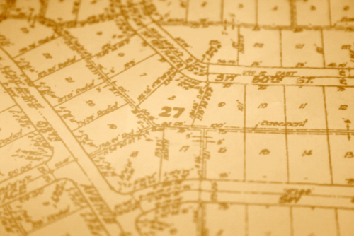
When faced with a property dispute, the first step is to commission a survey of the property in question. A licensed surveyor will conduct a thorough examination of the property’s physical boundaries, structures, and features, using specialized equipment and techniques to create an accurate survey plat or map. This document will show the exact location of property lines, easements, and any encroachments, providing objective evidence to resolve the dispute.
Once the survey is complete, the next step is to review the property records associated with the property. Deeds, titles, and other legal documents will be examined to verify ownership rights, legal descriptions, and any existing encumbrances or restrictions that may affect the dispute. By cross-referencing the information obtained from the survey with the property records, parties can gain a comprehensive understanding of the property’s history and legal status, helping to clarify the issues at stake.
With the survey and property records in hand, the parties involved in the dispute can work towards a resolution. By presenting the survey findings and property records to all parties, along with any relevant legal opinions or expert testimony, the parties can engage in constructive discussions to reach a mutually acceptable agreement. In some cases, mediation or arbitration may be necessary to facilitate the resolution of the dispute, with the survey and property records serving as crucial evidence to support each party’s claims.
In the event that a resolution cannot be reached through negotiation or alternative dispute resolution methods, the parties may need to resort to litigation to settle the dispute. In such cases, the survey and property records will play a central role in the legal proceedings, serving as key pieces of evidence to support each party’s arguments and help the court make an informed decision. By presenting a clear and compelling case based on the survey and property records, parties can increase their chances of a successful outcome in court.
Summary
Surveys and property records are invaluable tools for resolving disputes related to property boundaries, encroachments, easements, and other land-related issues. By providing accurate and reliable information about the physical characteristics of a property and its legal status, surveys and property records help clarify ownership rights, prevent misunderstandings, and facilitate the resolution of disputes in a fair and equitable manner. By following the process outlined in this blog and utilizing surveys and property records effectively, parties involved in property disputes can achieve a satisfactory resolution and move forward with confidence in their property rights.
Need Site Engineers & Land Surveyors in Seguin, TX?
Bettersworth & Associates, Inc. is an experienced team of resourceful and award-winning land planners. Established in 1953 in Seguin, Texas, we have gained recognition in creating better places in which to live, learn, work and play. Our goal is to improve the value of our clients’ land resources in a way that advances their missions and improves their communities. We are proud of the long-term relationships we have developed with our clients through creative and responsive advocacy. These relationships have helped us earn a reputation for getting noteworthy projects built in each industry we serve. Call us today!
Categorised in: Land Surveying, Property Survey

